 vesseltracker.com
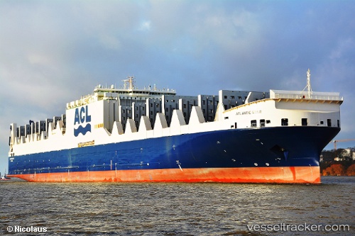
Find the position of the vessel ATLANTIC STAR on the map. The latter are known coordinates and path.
marine traffic ship tracker show on live map
The current position of vessel ATLANTIC STAR is 51.2779 lat / 4.21773 lng. Updated: 2025-10-28 20:15:44 UTCCurrently sailing under the flag of Malta
ATLANTIC STAR built in 2015 year
Deadweight:
55649 tDetails:
Last coordinates of the vessel:
UTC, 51.2779, 4.21771, course: 205, speed: 0UTC, 51.2779, 4.21772, course: 205, speed: 0
UTC, 51.2779, 4.2177, course: 205, speed: 0
2025-10-28 20:15:44 UTC, 51.2779, 4.21773, course: 206, speed: 0